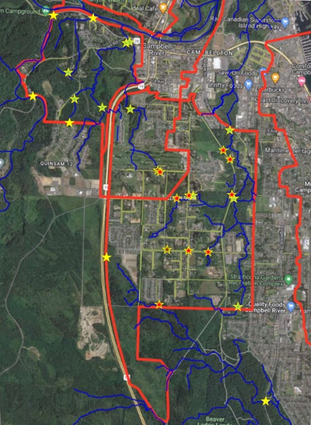
Quinsam Heights ISMP
Campbell River, BC
Project Description:
Mapping, Topographic Survey, Elevation Survey, Sketch Plan. Topographic Survey to MMCD standards to support the design of Integrated Stormwater Management Plan within the Quinsam Heights area in the City of Campbell River.