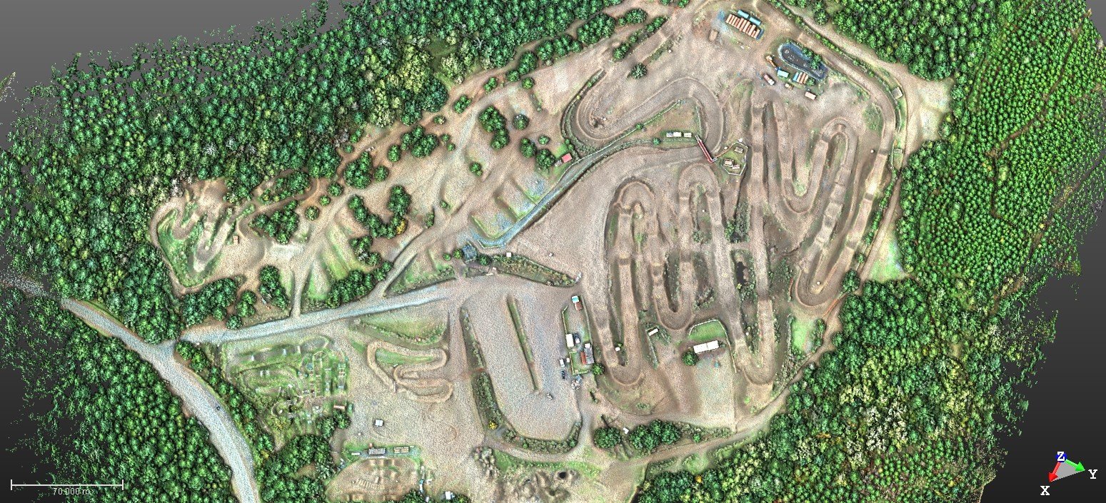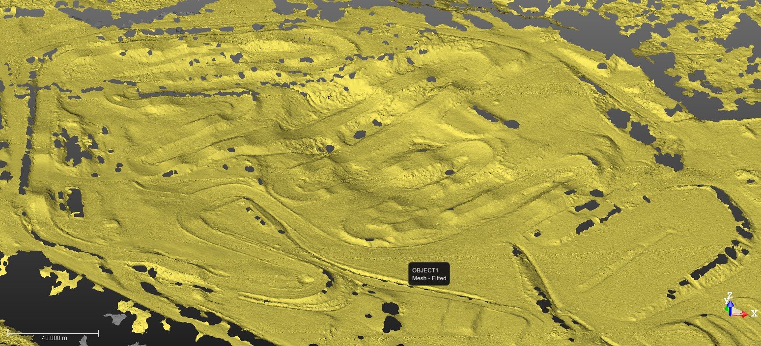
UAV / Drone Imagery and LiDAR
3D utilizes state-of-the-art UAV’s to capture high resolution imagery and LiDAR. Applications include:
Infrastructure - Bridges, roads, utilities, electrical facilities, industrial complexes and site plans
Architectural (AEC) - Building exteriors, site plans, heritage structures, as-built CAD and BIM
Earthworks - Surface modeling, volumetric analysis, deformation mapping and slope stability monitoring
Among the benefits found with UAV/drone imagery and LiDAR are:
reduced safety risks and traffic control costs
increased speed of data capture
reduced site visits through complete environment capture