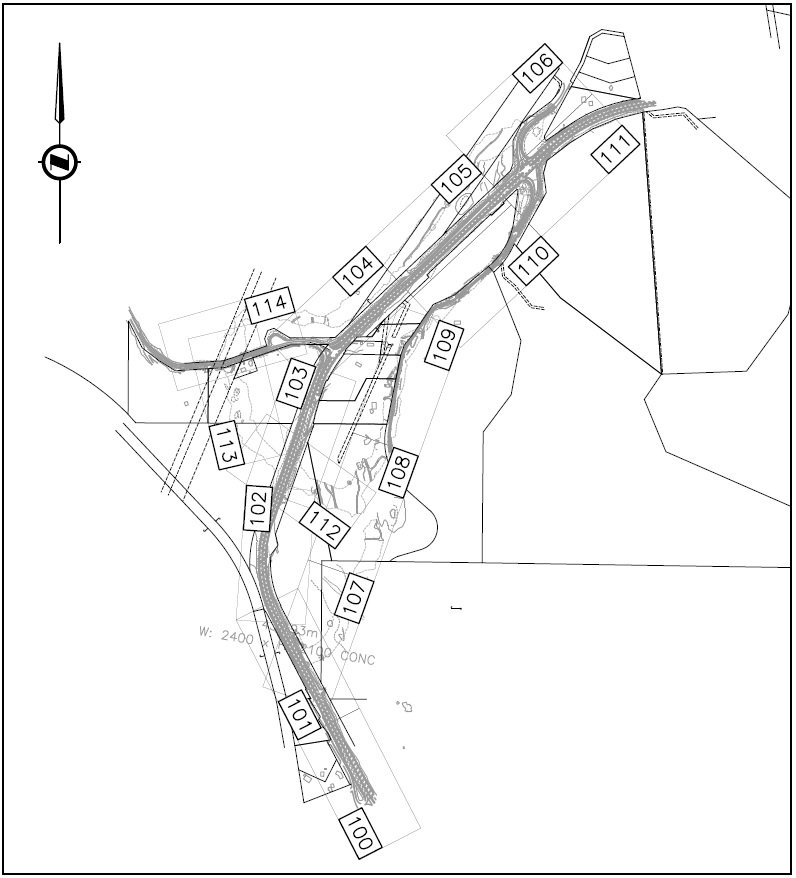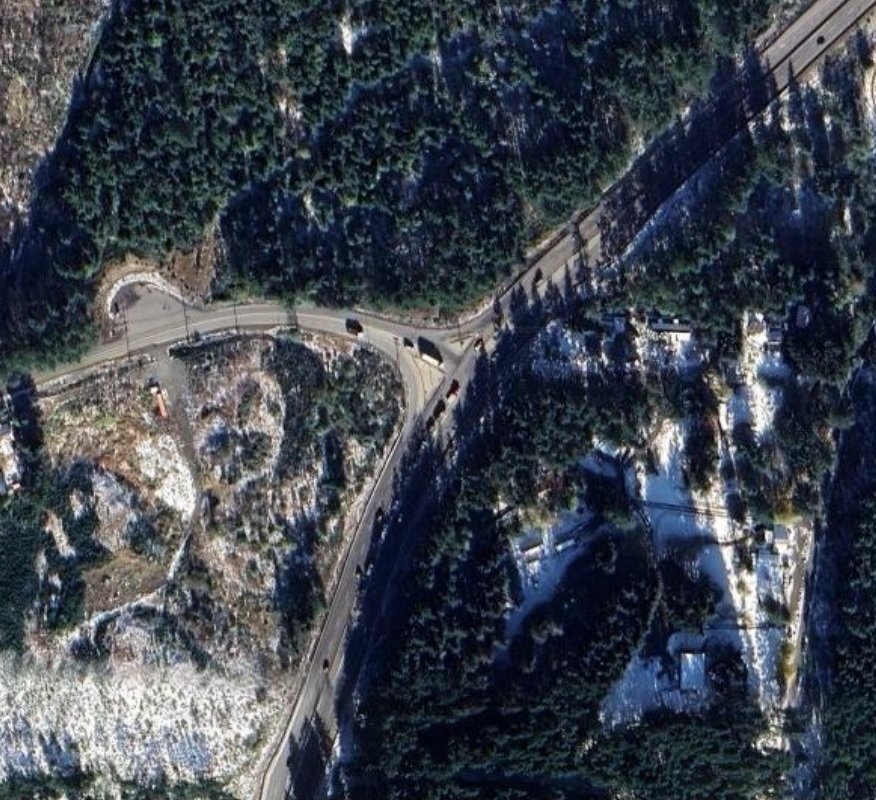
Hwy 1 – Shawnigan Lake Road
Malahat, BC
Project Description:
Topographic survey existing Road, New alignment for design build, utilities, and surrounding lands for the addition of overpasses and roundabouts to improve safety. Search and survey existing legal evidence to create a legal fabric for the current location and potential future expansion of rest area parcel. Survey pickup included roadways, slopes, culverts, headwalls, ditches, creeks, fog lines, edge of pavement, Rock outcrops, manholes. topographic survey of existing highway as well as new design locations, included Spot elevations to create contours of the site. Cutting line or sight through the forested areas to complete the survey of water courses and existing topography of the parcels. In addition to topographic survey, Lidar data is also utilized. Lidar data was gathered in house using Drone Piloted by a qualified personal